
The Shelby County Emergency Management and Homeland Security Office is urging everyone to prepare for the severe weather and possible flooding expected this weekend.
The office released the following information for the public, in an effort to get everyone ready for what’s to come.
“Stay vigilant! A second round of severe weather is moving through Shelby County. Anticipate flooding and high winds. Power outages, closed roads, and downed trees are also possible,” said Brenda Jones, Director Shelby County Emergency Management and Homeland Security Office.
Short Term Weather Hazard:
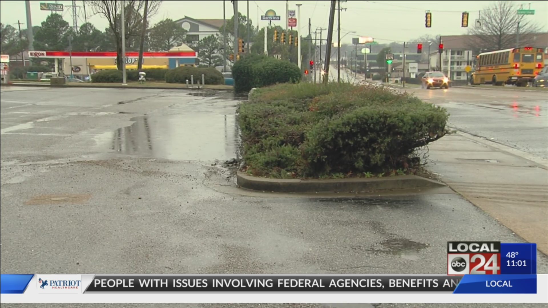
Heavy rainfall is expected through Saturday evening. Several rounds of heavy rain and occasional thunderstorms are expected. Areal flooding, river flooding, flooding of creeks/tributaries, flash flooding are all LIKELY.
Severe Thunderstorms possible Saturday afternoon into early Saturday evening. A Wind Advisory may be necessary on Saturday.
A Flash Flood Watch continues through Saturday evening. 2 – 5 inches of rain possible. Streets, low lying areas, river and creeks may flood. We are included in the “enhanced risk” for severe weather Saturday. The main threats: damaging winds of up to 70+ mph, heavy rains, and isolated tornadoes. With rain-soaked soil, mature trees may topple with little wind.
Long Term Weather Hazard:
A Flood Warning for the Mississippi River at Memphis continues. The river is predicted to rise to 39.5 feet February 28 and fall below flood stage March 10. Tributaries flowing into the Mississippi will rise and have a slow fall. This is a prolonged high-water event.
Severe Weather Safety Tips:
- Monitor the forecast! Heed watches and warnings.
- Watch: severe weather is possible in the watch area. Stay aware!
- Warning: severe weather is imminent. Take shelter!
- Keep up with the river levels at www.weather.gov.
- Download apps to mobile devices: FEMA @ www.fema.gov and ReadyTN @ https://www.tn.gov/tema/ready-tn.html.
- Have a battery-operated weather radio with you at all times if possible.
Severe Flooding Safety Tips:
- Clean debris from storm drains before rain begins.
- Have a plan to evacuate to higher ground.
- Know alternative routes to and from work.
- Avoid traveling at night when it is difficult to see flash floods and ponding.
- Never drive through water on the roadways, “Turn around, don’t drown!”
- Do not walk or swim in flood waters (flood waters can be toxic). If you must walk through flood waters to reach higher ground, shower as soon as possible.
- Do not allow children or pets near flood waters.
- Have a disaster kit for home and auto to sustain you for 7 day and nights.
- Have a pet and animal plan to move them to higher ground during flooding if needed.
Severe Thunderstorm and Tornado Safety Tips:
- Be prepared to evacuate or shelter-in-place.
- Seek shelter in a “safe place.” Underground is best (basement or tornado shelter). If not available, go into a sturdy building, on the lowest floor, to the most interior room or hallway. Stay away from windows and doors.
- If you are in a vehicle, seek a sturdy building for shelter. If not available, park and buckle your seatbelt. Cover your head and arms with a blanket or coat.
- Avoid parking under bridges and overpasses.
- Anticipate power outages.
- Bring companion animals indoors.